Tulare Lake Guide: History, Wildlife & Central Valley Map
Exploring this in-depth Tulare Lake guide reveals one of the most compelling geographic, ecological, and historical stories in the American West in 2026. Situated in California’s fertile San Joaquin Valley, the Tulare Lake Basin was once recognized as the largest freshwater lake west of the Mississippi River. While nineteenth-century agricultural engineering dramatically altered its shoreline, historic atmospheric river storms continue to periodically resurrect this ancient inland sea, reminding travelers and naturalists of the region’s enduring hydrology.
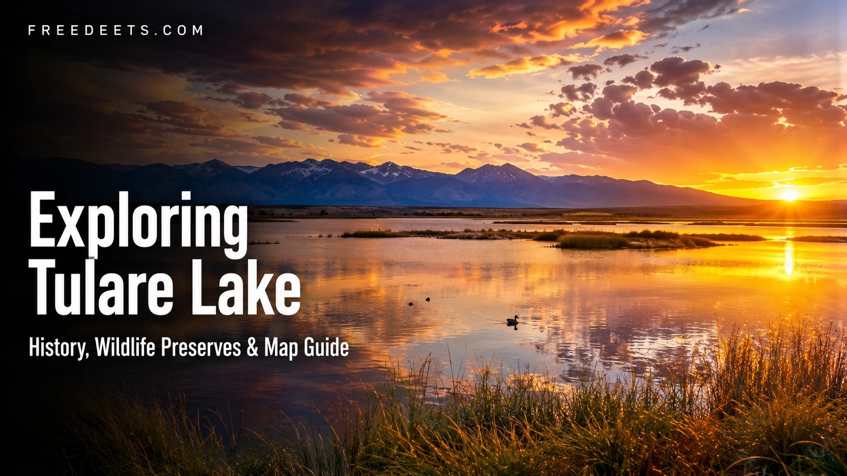
The historical scale of Tulare Lake is extraordinary. According to hydrological surveys published by the U.S. Geological Survey (USGS), during wet snowmelt seasons in the nineteenth century, the lake spanned upwards of 600 to 1,000 square miles, creating a navigable waterway traveled by commercial steamships. Today, the basin functions as a dynamic mosaic of productive agricultural fields, restored wildlife management preserves, and vital migratory wetland corridors.
Core Ecological Insight: The Endorheic Basin
Tulare Lake sits in a terminal, endorheic basin with no natural outlet to the Pacific Ocean during average water years. Water flowing from the Sierra Nevada mountains naturally pools in this sunken trough, historically creating expansive marshes of native tule reeds that gave the lake its name.
1. The History of Tulare Lake: From Indigenous Haven to Farmland
Understanding the modern landscape requires examining the cultural and engineering shifts that transformed the valley over two centuries:
- The Indigenous Yokuts Nation (Pa’ashi): For thousands of years prior to European contact, the Yokuts people thrived along the sprawling, reed-lined shores of Tulare Lake, known in their native language as Pa’ashi. The freshwater ecosystem provided an abundant supply of native tule perch, freshwater mussels, migratory waterfowl, and game, supporting one of the highest non-agricultural population densities in pre-Columbian North America.
- 19th-Century Agricultural Canalization: Following the California Gold Rush and the arrival of transcontinental railroads, agricultural developers constructed extensive networks of levees, dikes, and canals. Engineers diverted the four primary Sierra Nevada snowmelt rivers feeding the basin—the Kings, Kaweah, Tule, and Kern rivers—transforming dry lake beds into fertile fields for cotton, alfalfa, pistachios, and almonds.
- The Modern “Ghost Lake” Phenomenon: While agricultural diversions drained the permanent water body by the early twentieth century, massive atmospheric river events (such as the historic storms of 1938, 1969, 1983, 1997, and 2023) temporarily refill the low-lying depression, illustrating nature’s capacity to reclaim historic floodplains.
2. Central Valley Map Layout & Geographic Landmarks
The Tulare Lake Basin occupies Kings and Tulare counties, resting at a modest elevation between 180 and 240 feet above sea level. Hemmed in by the Sierra Nevada range to the east and the Temblor Coast Range to the west, the region forms an immense natural bowl:

| Preserve / Landmark | Location Coordinates | Visitor Experience & Highlights |
|---|---|---|
| Tulare Lake Wildlife Management Area | Near Corcoran, Kings County | Seasonal wetland observation, waterfowl photography, and Pacific Flyway birding. |
| Kaweah Oaks Preserve | East of Visalia, CA | Preserved 344-acre ancient valley oak riparian woodland featuring family-friendly hiking trails. |
| Pixley National Wildlife Refuge | South of Pixley, Tulare County | Sanctuary for endangered blunt-nosed leopard lizards and wintering sandhill cranes. |
| Sequoia & Kings Canyon National Parks | 1 Hour East (Sierra Nevada Range) | Giant sequoia groves, alpine hiking, and deep river canyons feeding the Central Valley. |
3. Wildlife Watching and the Pacific Flyway Migration
Despite heavy land cultivation, the Tulare Lake Basin remains an indispensable stopover on the Pacific Flyway—the primary migratory superhighway connecting Arctic Alaska with Central and South America. According to conservation monitoring from the California Department of Fish and Wildlife (CDFW), millions of birds rely on local wetland sanctuaries each winter:
- Waterfowl & Shorebirds: American avocets, black-necked stilts, northern pintails, cinnamon teal, snow geese, and white pelicans converge on seasonal drainage basins and flooded fields.
- Raptors & Endangered Species: Red-tailed hawks, northern harriers, and burrowing owls hunt across open grasslands, while protected mammals like the San Joaquin kit fox and desert cottontail navigate riparian brush.
- Valley Oak Woodlands: Historic native trees, including majestic valley oaks (Quercus lobata), western sycamores, and Fremont cottonwoods, line preserved river delta banks.
4. 5 Fascinating Facts About Tulare Lake and the Central Valley
To deepen your appreciation of this unique agricultural and hydrological corridor, consider these five historic and ecological realities:
- The Tule Reed Legacy: The lake was named Los Tules by Spanish explorer Pedro Fages in 1772 after the dense, impenetrable thickets of tule rush (Schoenoplectus acutus) that framed its shores. The Yokuts used these buoyant stalks to construct dwellings, mats, and seaworthy canoes.
- Commercial Steamboat Navigation in the 1870s: Before water diversions, the lake was so vast that commercial steam-powered boats, such as the Water Witch, ferried agricultural goods and passengers across its waters between Fresno and Bakersfield.
- Hydrological Connection to San Francisco Bay: In historic flood years prior to dams, Tulare Lake would overflow its northern ridge into the Fresno Slough, connecting directly with the San Joaquin River and discharging floodwaters into San Francisco Bay.
- Vital Winter Roost for Sandhill Cranes: The nearby Pixley National Wildlife Refuge hosts thousands of lesser and greater sandhill cranes every winter, where visitors can listen to their prehistoric bugling calls at dusk.
- Global Agricultural Importance: Today, the reclaimed lakebed soils produce record yields of cotton, pistachios, grain, and dairy products, playing a critical role in global food supply chains.
5. Travel Planning, Logistics & Best Visiting Practices
Visiting the Central Valley requires strategic preparation to navigate seasonal weather patterns and rural access roads:
- Optimal Visiting Windows: Late autumn through early spring (November to April) is the ideal season for travel. Temperatures are mild (55°F to 68°F), foothill grasses turn vivid green, and migratory avian flocks arrive in peak numbers.
- Managing Summer Heat: Summer daytime temperatures in the San Joaquin Valley routinely exceed 100°F (38°C). If visiting between June and August, conduct nature walks during early morning hours and carry ample drinking water.
- Road Conditions & Vehicle Access: While major highways (like CA-99 and I-5) are paved, access roads surrounding wildlife management zones can be unpaved agricultural gravel. Check local county road closure alerts during rainy winter months.
- Respecting Private Farmland: The vast majority of the historic lakebed is active, privately owned commercial farmland. Stick strictly to designated public wildlife areas, county parks, and state preserves.
Frequently Asked Questions About Tulare Lake
Does Tulare Lake still exist today?
Historically drained in the late 19th and early 20th centuries for agriculture, Tulare Lake primarily exists today as a dry agricultural basin and wildlife management area. However, during extraordinarily wet atmospheric river winters, massive Sierra snowpack runoff temporarily refills hundreds of square miles of the historic lakebed.
Where is the Tulare Lake Basin located in California?
The basin is located in the southern San Joaquin Valley, primarily within Kings and Tulare counties. It sits roughly halfway between Fresno to the north and Bakersfield to the south, bordered by Interstate 5 to the west and Highway 99 to the east.
Can you kayak or boat on Tulare Lake?
Under normal conditions, there is no permanent public recreational lake for boating. The basin consists of active agricultural fields, irrigation canals, and wildlife refuges. During temporary flood-resurgence years, water covers private farmlands where recreational boating is strictly restricted due to submerged hazards and levee safety protocols.
Core Takeaways for Explorers
- Tulare Lake was once the largest freshwater body west of the Mississippi River.
- The basin serves as a crucial Pacific Flyway wintering ground for sandhill cranes and waterfowl.
- Visit Kaweah Oaks Preserve near Visalia to experience intact primeval valley oak forests.
Conclusion
The story of Tulare Lake is a defining chapter in the history of California water management, ecological conservation, and cultural heritage. From its ancient status as an abundant wetland haven for the Yokuts people to its modern role as an agricultural powerhouse and migratory bird sanctuary, the basin illustrates the complex interplay between human ingenuity and natural waterways. By exploring the surrounding preserves and understanding its hydrological past, travelers gain a profound appreciation for California’s ever-evolving Central Valley.